Seismic
Advertisement
Community Seismic Network v.1 11
Community Seismic Network is a new earthquake monitoring system based on a dense array of low-cost acceleration sensors. A primary goal of the system is to produce block-by-block measurements of strong shaking during an earthquake.
Advertisement
Seismic Eruption v.4 1
Seismic/Eruption: A program for the visualization of seismicity and volcanic activity in space and time. Seismic/Eruption runs in a PC Windows environment.

STK - Seismic ToolKit v.1.0
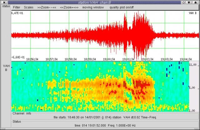
STK (Seismic Tool Kit) is a tool for seismic signal processing in graphical interface: various filters, spectral analysis, polarization, time-frequency, Hilbert transform, instrumental response.
Seismic Analysis v.6. 3. 1937
GeoSonics' comprehensive software to display and analyze data from Geosonics' data recorders. It features Compliance reports, Waveform plotting, FFT computation, and a sophisticated export facility.
Seismic Datum Converter v.3.0
This program is designed to convert segy file trace header coordinates from one datum to another datum and/or from one UTM zone to another one. It accepts as input geodetic (rectangular) coordinates written in segy trace headers,
PowerFrame v.5. 6. 2012
PowerFrame analyses any concrete, steel and timber structural frame subjected to a seismic load or a fire load. Features: -Graphical definition of model with built-in model tools or import of Diamonds model.
MECASeismic v.1.0.2.9
Engineers who are looking for an affordable software package to perform professional looking seismic calculations per ASCE 7-05 are turning to MECASeismic.
Seismaster v.8.0.3.3
SEISMASTER® is an interactive, computer platform-independent 2D & 3D seismic visualization & horizon surface tracking software system.
GridImp
Imports gridded data into MS-MapPoint, to produce attractive data maps. Can handle imperfect data, holes, re-gridding, etc. Can be used to import such attributes as pollution data, seismic hazard, geological information, customer/population
PANOPLIA v.5 1
PANOPLIA. is a sophisticated software system intended for the design and analysis of anti-seismic reinforced concrete buildings. It is a standalone application for the RC Detailing and Material Management.
ImageToSEGY v.1 6
ImageToSEGY enables you to save scanned seismic paper records as fully conforming SEG-Y digital data files, complete with time stamps, fix marks, and interpolated navigation.
